Overview
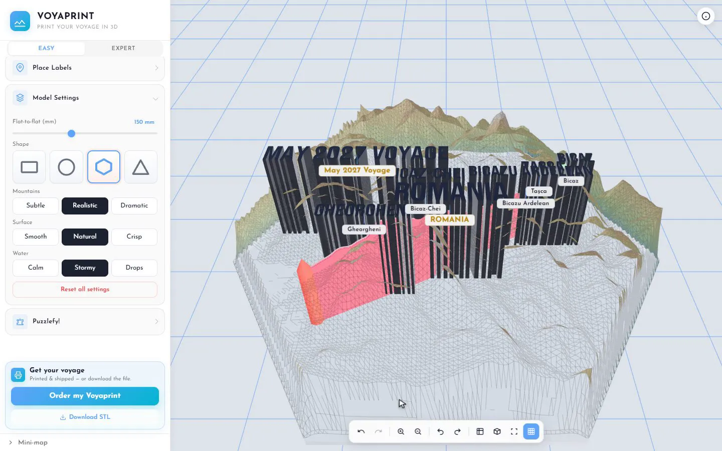
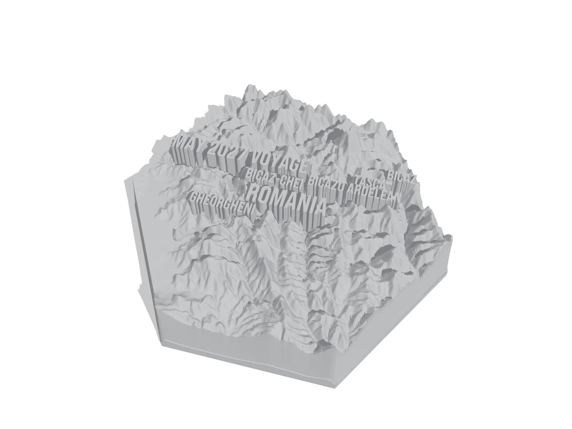
Voyaprint turns a trip you actually took into a 3D-printed relief map of the land you crossed. You give it your route, from Google Timeline, a GPX file from Strava or Garmin, a folder of geotagged photos, or a line you draw on a map, and it builds the real terrain around it in your browser, with your path on top and the towns you passed raised as lettering. You can download the file and print it yourself, or order a finished print.
I built it because a trip leaves you with hundreds of photos and nothing you can hold. A route is the most personal map there is, and a topographic model of it, the actual mountains you climbed and the coast you followed, is a far better keepsake than another frame on the wall. Every tool I found either needed real 3D modelling skills or produced a generic map that had nothing to do with your trip.
Specifications
- First commit to public launch
- about 3 weeks
- Ways to bring a route
- 4
- Ready-made route pages
- 1,000+
- Puzzle pieces per model
- up to 100
- Shipping countries
- 50
- Status
- live
What it enables
Anyone can make a 3D print of their own trip. No CAD, no GIS, no mesh repair. If your phone tracked the trip, or you took photos with location on, you are a few clicks from a model. If you have neither, you sketch the route on a map. The settings are a handful of plain choices (shape, how dramatic the mountains are, how the sea looks), and the preview is exactly what will print.
People with a 3D printer get a file that just works. The model comes out solid and clean, with text and paths thick enough to survive the nozzle, so it goes straight from the download into the slicer.
People without a printer still get the object. They order it, and a partner print workshop makes it, in their own country wherever possible, and ships it to one of 50 countries.
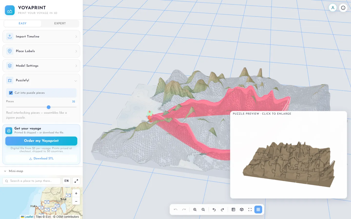
A gift that has to be solved. With Puzzlefy, the same model prints as an interlocking jigsaw. There is no picture to match: you put it back together by the ridgelines, the coastline and the route itself.
Your files stay yours. The Timeline file and the photos are read on your own device. Only the simplified route of a voyage you choose to save ever reaches the server.
Highlights
- From first commit to a public product in about three weeks. The first commit was on 18 April 2026. By early May it had accounts, payments, sharing, legal pages and a soft launch with the editor open to everyone.
- The print matches the preview, byte for byte. A downloaded file and the one built for a print order are generated in two different places, and an automated check proves they come out identical.
- A jigsaw puzzle out of any terrain, up to 100 pieces. The cut is previewed live, recomputed in about a second without freezing the page, and every piece prints watertight and separate.
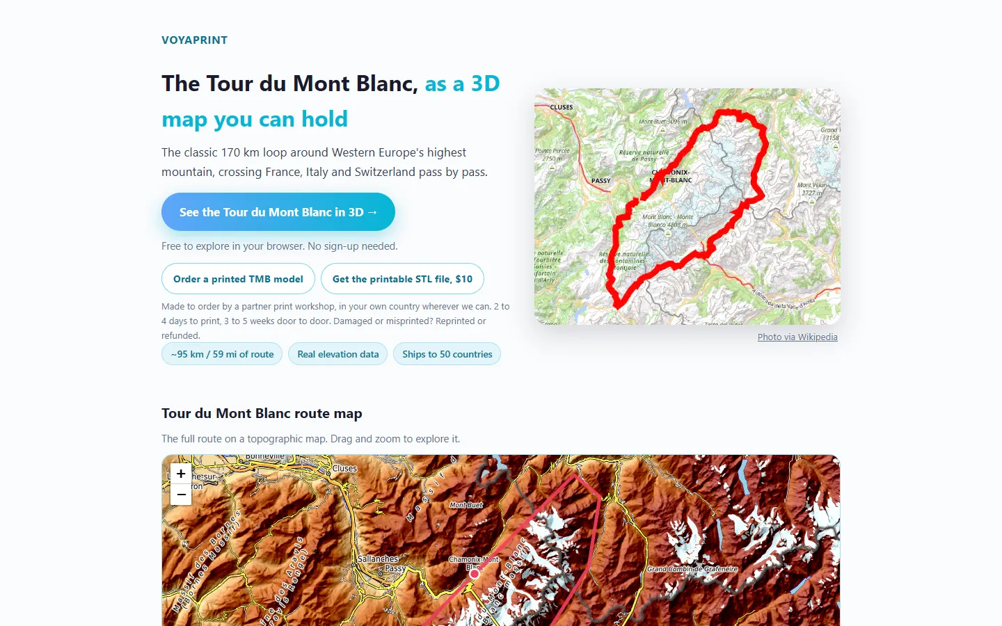
- More than a thousand famous routes, one click from 3D. From the Tour du Mont Blanc to the Inca Trail, each has its own page that opens the editor with the route already built, no sign-up needed.
- Labels in any language. Place names in Hebrew, Arabic, Chinese or Japanese become printable lettering too, right to left where needed.
How it works
At whiteboard level: the route tells the editor where you went, and that defines the patch of the Earth to model. The editor pulls public elevation data for that patch, turns it into a surface, lays your path over it and finds the places worth naming along the way. Everything you change is rebuilt live in the browser, and the result is closed into a single solid that a printer can make sense of.
Around the editor sits the rest of a small business: accounts and saved voyages, payments, sharing links that open the real 3D model, and an order pipeline that takes a paid print all the way to a partner workshop and the customer’s door. The marketing runs on the same idea of automation, down to a pipeline that films the editor and produces short videos.
Challenges
Outcome
Voyaprint is live at voyaprint.com. The editor is free to use, a voyage is unlocked once and can be re-styled and re-exported forever, and finished prints ship to 50 countries. Puzzlefy, sharing links and the library of famous routes all came after launch.
Not everything made it. An early idea was to engrave a small mark into the underside of every model; after four different attempts the mark still never survived the trip into the printer’s software, and I dropped it. What I would do differently is test on real prints much earlier. The preview always looked right; the plastic is what taught me.